Data
Pinellas County Economic Development provides informative, impactful resources for data-driven decision-making.
Get the facts and the figures.
The data is clear – Pinellas County is alive with possibilities. With more than 35 miles of white sandy beaches, warm Gulf waters, a pro-business ecosystem with a start-up spirit, a world-class arts scene, eclectic nightlife and unique beach communities, Pinellas is the ideal business climate.
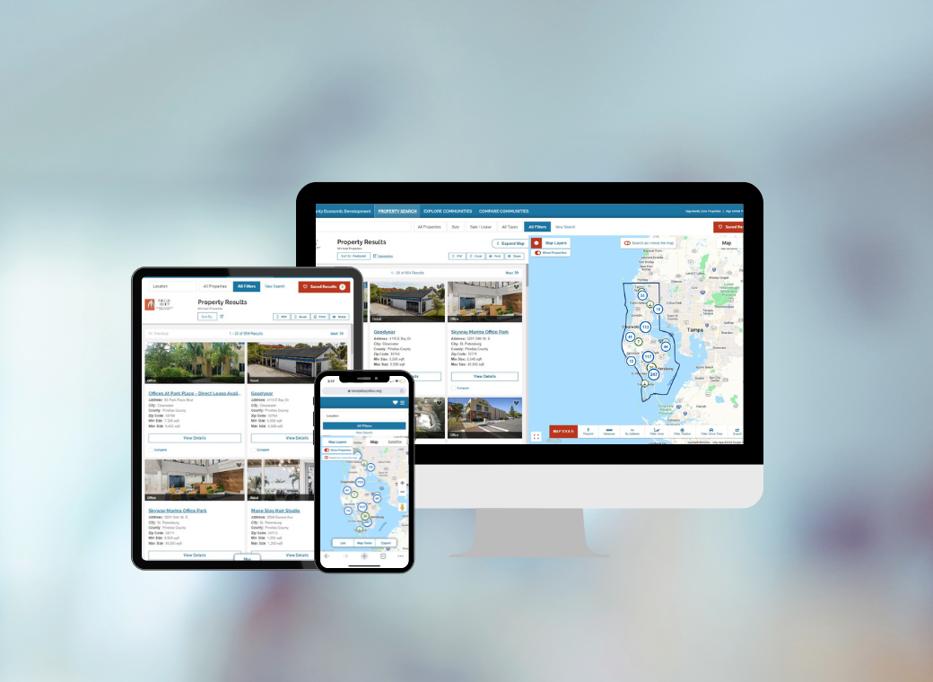
Pinellas County Economic Development understands that a range of factors impact business competitiveness in the global marketplace. Decision-making is data-driven and requires market research and analysis. Browse our Economic Data Dashboard, Commercial Property and Demographics tool, maps, and reports to find more information about Pinellas County. Let our experts assist you with your market research.
Tools & Resources


Additional Reports & Resources


Maps
- Average Daily Traffic Counts
- Community Redevelopment Areas (Pinellas County Web GIS Viewer, to review boundaries, select Planning Layer and select Community Redevelopment Areas)
- Municipal Boundaries & Unincorporated Areas
- Pinellas County Government Maps & Aerials
- Pinellas County Zoning & Land Use Map
- Pinellas County WEBGIS (Esri based GIS Viewer compatible with Firefox and Chrome only)
- Flood Maps
- Directions to Pinellas County Economic Development


Talent & Workforce
- Learn more about Pinellas County’s workforce, training, education institutions and talent pipeline.
CONTACT US